This site is best viewed at 1280x1024
Martian City Map #3: Mars Civilization Evidence #6746.1-45
Image Credit: NASA/JPL/Malin Space Science Systems
This image can be found at: http://ida.wr.usgs.gov/html/e19004/e1900409.html
Please See MarsRuins: Martian City Map #2 for information on official NASA explanations of this Martian geometry.
Here is the above closeup inverted in Photoshop.
Here is a different region of mars showing similiar geometry
Here is the official full image from: http://www.msss.com/moc_gallery/m19_m23/images/M19/M1900047.html
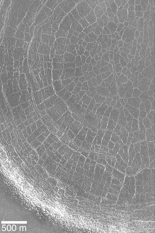
A lot of the wonder is sapped out of these images provided by NASA when they are inverted. Here is an inverted closeup of the geometry in the crater.
Inverting the two original images by NASA on this page seems to suddenly provide a more accurate view of the terrain. It is broken dirt like we see in dried mud puddles.
Were these images inverted by NASA for some reason when they were released to the public, or were the original images provided as taken?
Regardless, it seems by inverting some NASA images one can come to better grips with what is being viewed.
Welcome to Mars Ruins