This site is best viewed at 1280x1024
Los Angeles of Mars: Ancient Martian Civilization Evidence #j9-467.1
Original image courtesy NASA/JPL/Malin Space Science Systems: http://www.msss.com/moc_gallery/ab1_m04/images/M0401031.html
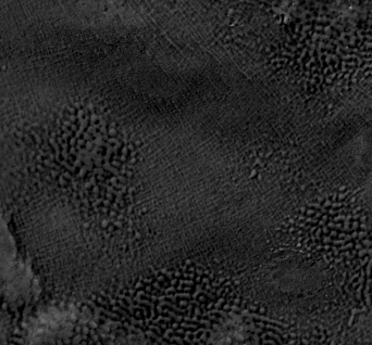
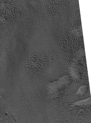
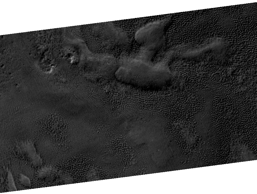
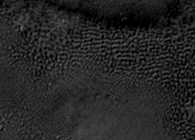
NASA makes no comments on the radical geometry in this image. They remark only that this is the "edge of a dark deposit on floor of 60km crater in W Utopia Planitia."
The Dark Deposit is obviously sand dunes. Why no conjecture on the grid-like design covering the "edge" of the crater towards the middle of the image?
The original NASA image below is 2.38 KM wide, or approximately 1.5 miles. http://www.msss.com/moc_gallery/ab1_m04/images/M0401031.html
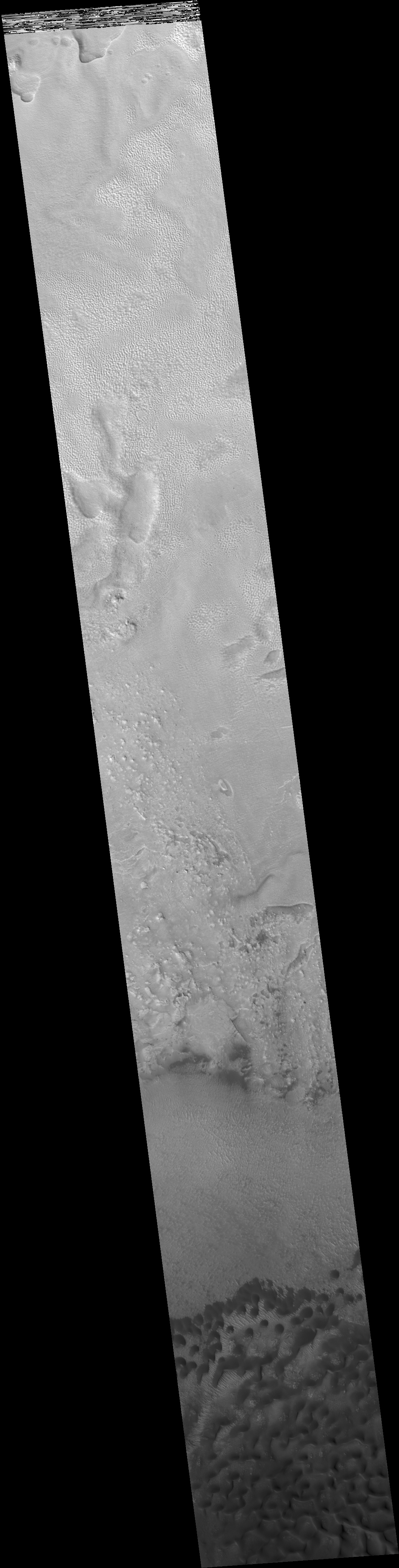
The grid like geometry that can be found by darkening the lightest areas in the middle to upper part of the image are fascinating.
What natural geologic mechanism creates grid like geometry on this scale?
Compare a modern Los Angeles city grid image with the image of Mars above.
Left: Mars / Right: Los Angeles city grid
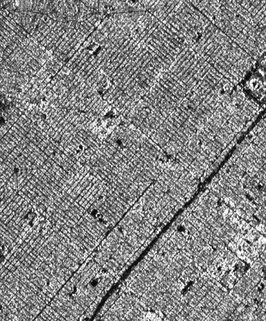
See any simialarities?
Does this geometry look natural? On this scale, is it naturally possible?
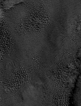
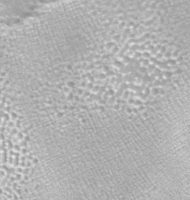
Here are a couple of closeups of the original NASA image with no enhancement in order to show the geometry hasn't been created via Photoshop manipulation.
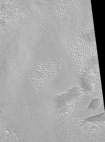
Darkening or inverting the image simply helps bring the geometry of the landscape to the forefront.
Here's a closeup from the image above.
Brightness lowered extremely and High Contrast
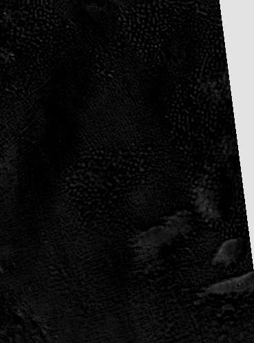
Is this natural? Compare it again to the radar satellite image of Los Angeles (obviously not buried under sand).
See any similiarities?
Welcome to Mars Ruins