This site is best viewed at 1280x1024
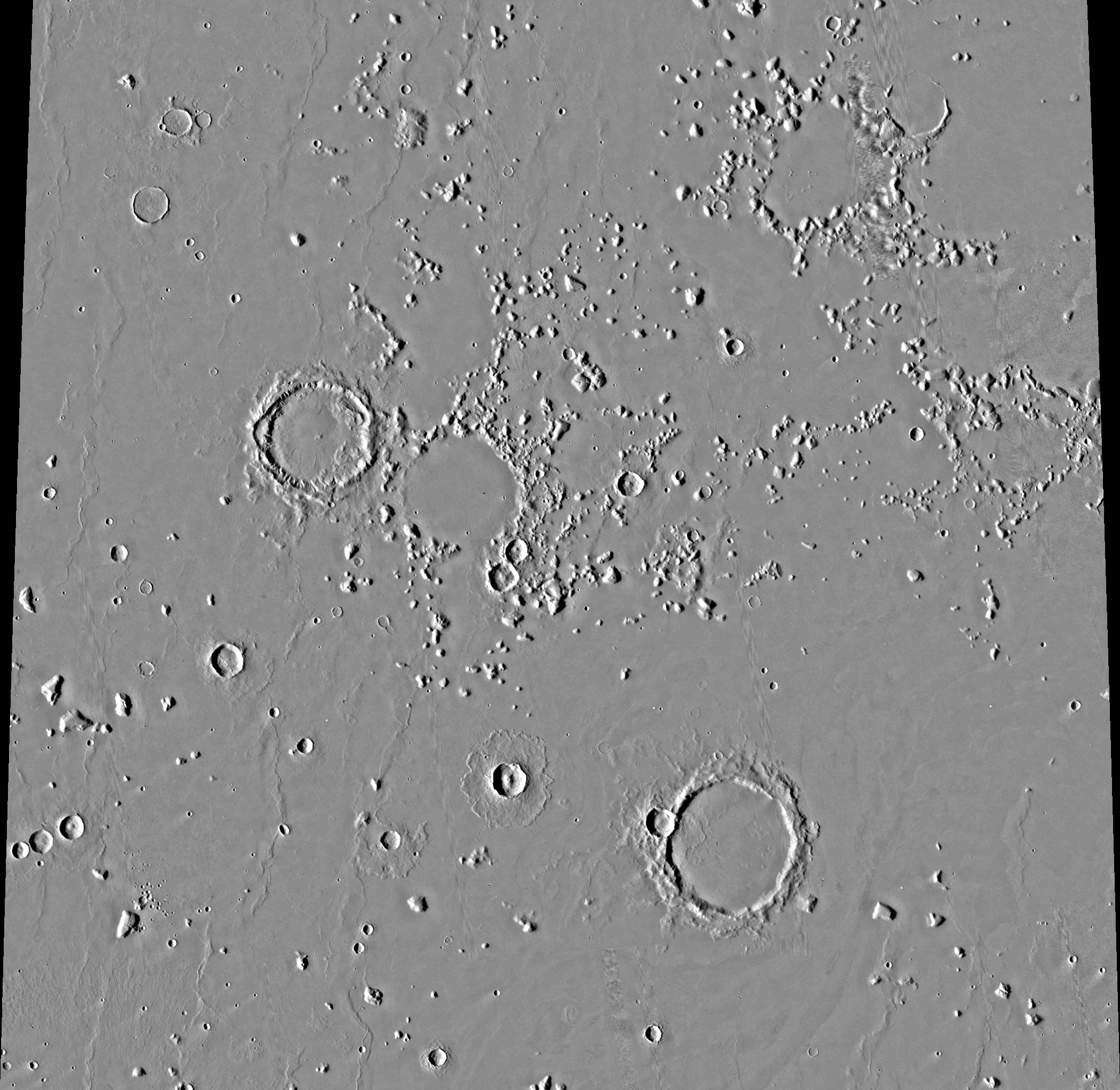
The Martian Tablet: Civilization Ruin Evidence #89873
Original grey scale image from USGS NASA/JPL 1975 Viking mission.
Thanks to NASA/MALIN/USGS for use of these original Mars images.
Welcome to Mars Ruins
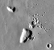
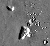
*
You can find this image at: http://www.mapaplanet.org/explorer/mars.html
Image Statistics for Image:
Image size = 2048 rows by 2104 columns.
Resolution = 256.0000 pixels per degree (true at the equator).
Scale = 0.2314 kilometers per pixel (true at the equator).
Projection = sinusoidal.
Stretch = auto.
Top Latitude = 27.5 degrees north.
Bottom Latitude = 19.5 degrees north.
Left Longitude = 179.9 degrees west.
Right Longitude = 171.1 degrees west